
Weed Mapping & Spot Spraying
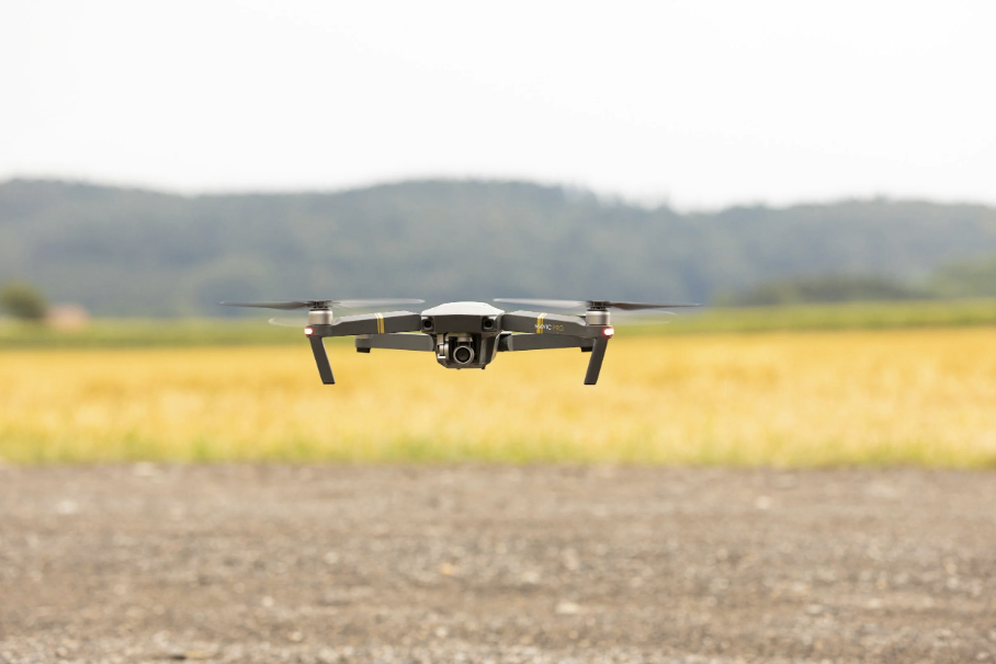
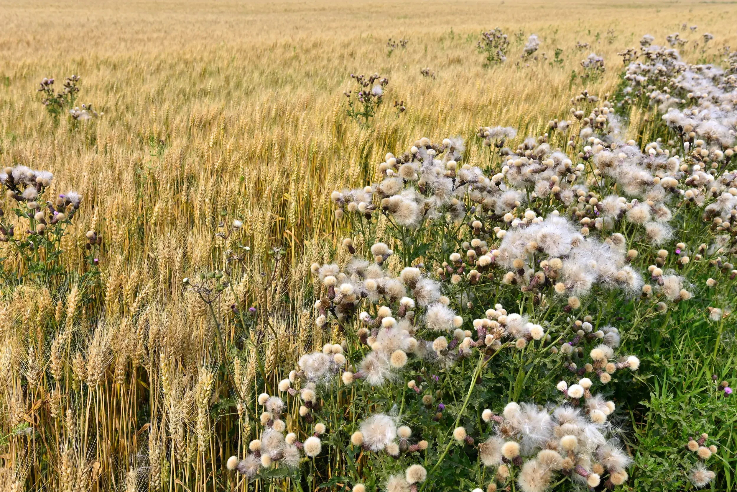
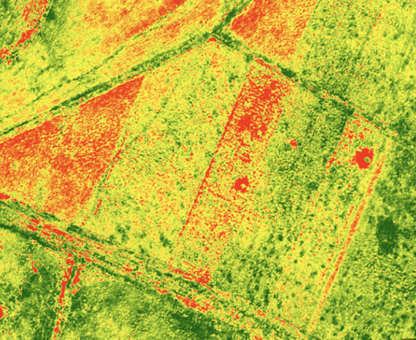
Each field is scouted using the DJI Mavic drone. Images are uploaded and analyzed by PIX4Dfields software to identify weed patches, validated by the famer, and converted into precision spot-spraying missions, allowing treatment only where it is needed. This approach reduces application time, chemical usage and improves overall application efficiency and accuracy.
Service charge of $200 + $50/hour + $.70/mile over 30 miles.
Complete the drone application and mapping survey below to receive a consult and customized quote for your exact needs.
*Now accepting fall service bookings.