

Drone & Nutrient Analysis Services
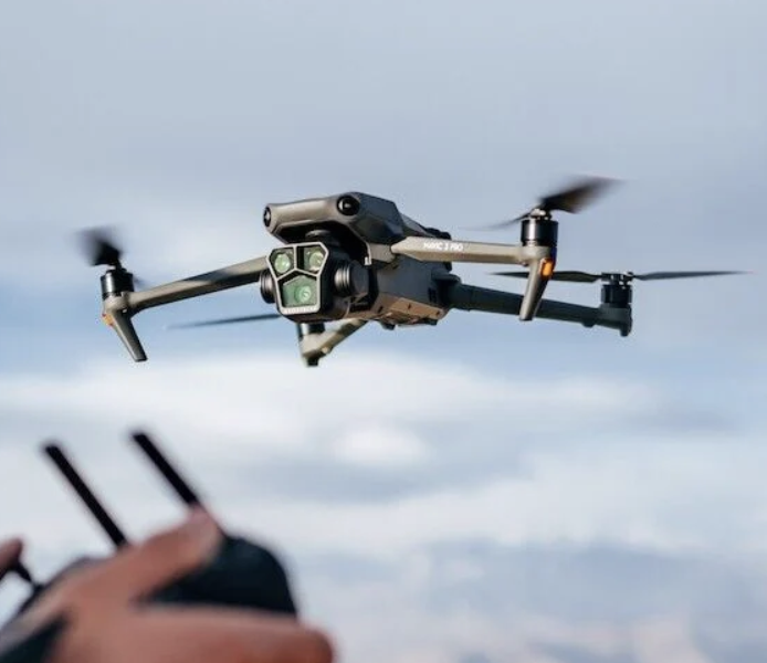
DJI Mavic 3M, Scouting Drone
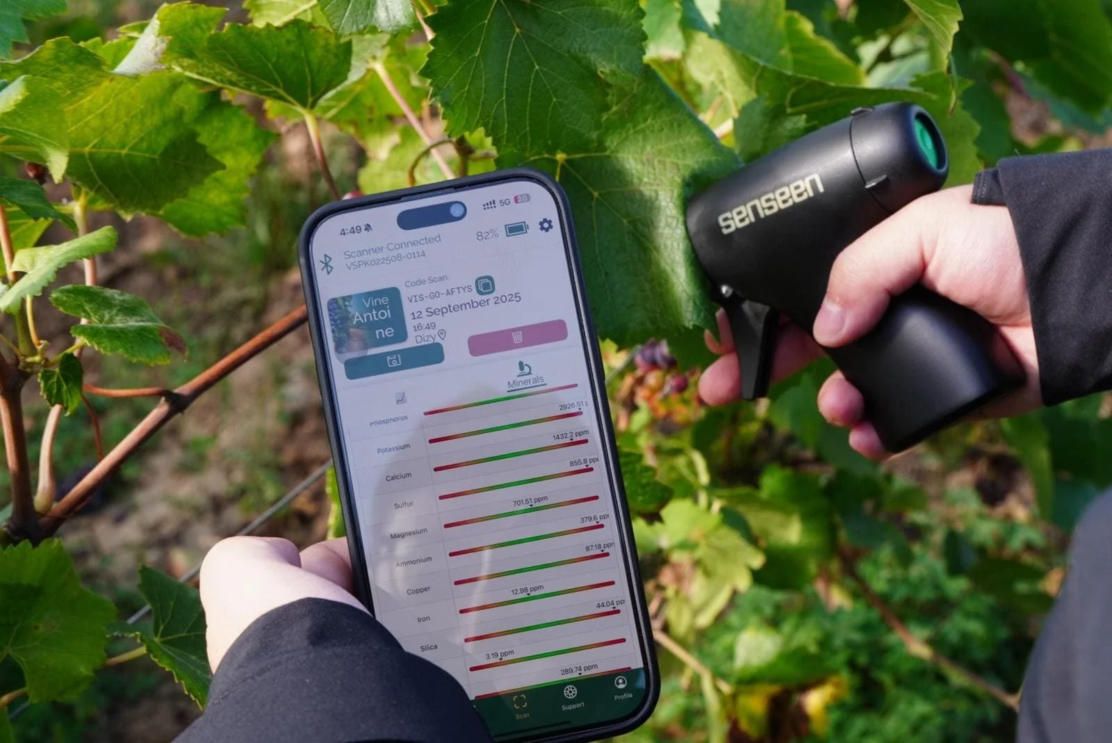
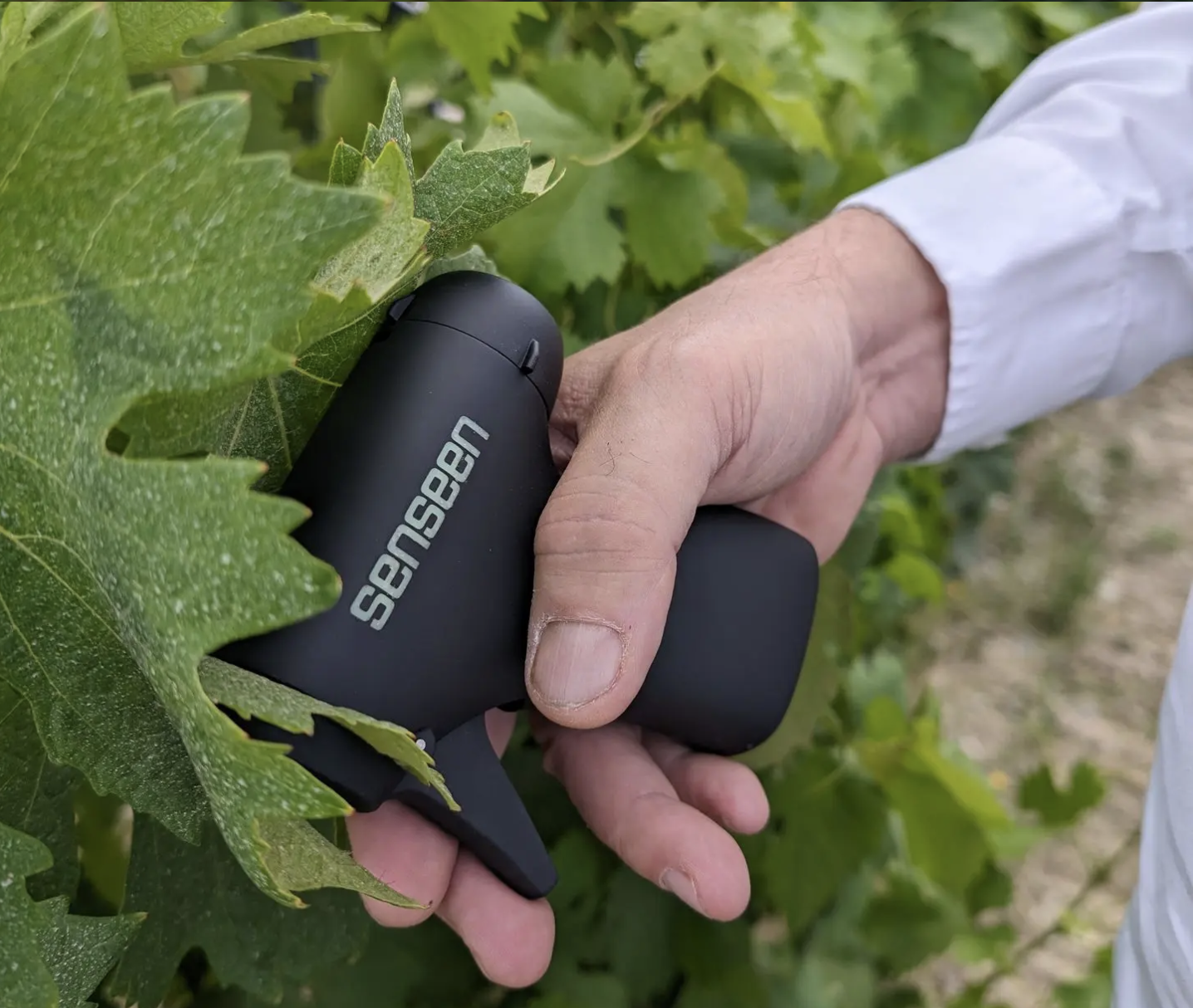
Senseen Nutriscope, Real-Time Nutrient Scanner
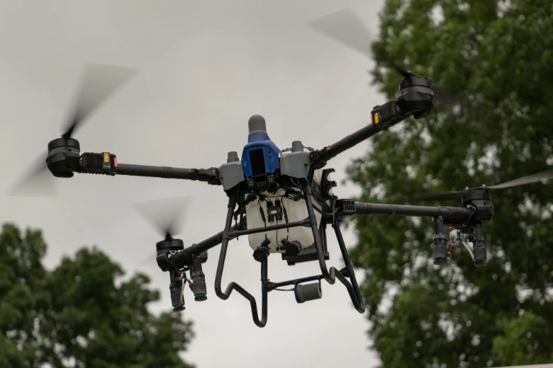
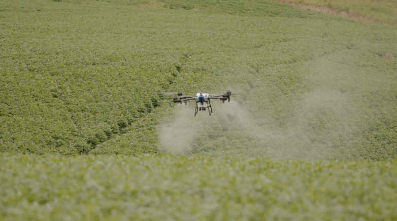
EAVision J150, Spray and Seeding Drone
See It. Decide It. Apply It.
From crop scouting and nutrient analysis to precision spraying and seeding, our drone services help you identify issues early and take action faster. Modern agriculture demands speed and precision. Waiting days for lab results or delaying spray applications because of weather, labor, or equipment availability can quietly erode yield and return.
IQ Ag combines real-time crop intelligence with precision drone application to create a faster, more responsive management cycle.
We provide you a suite of innovative solutions that deliver actionable agronomy intelligence without buying equipment, handling tech, or managing apps. You just get easy to understand information, additional resources and operational options.
Learn more about these innovations, case studies and success stories.
DJI Mavic Scouting Drone Video, Website- Field mapping and scouting.
Senseen Nutriscope Website - Real-time plant nutrient analysis.
EAVision Website, J150 Drone - Spraying, seeding applications.
We help you:
Map field variability and target problem zones
Identify nutrient deficiencies and plant stress in real time
Apply micronutrients, herbicides, or seed exactly where needed
Reduce compaction, runover loss, and unnecessary input use
These services work together — but can also be used independently depending on your needs.
Scouting & Nutrient Analysis
-
Farmers often rely on:
Tissue or sap tests that take 3–5 days
Broad field averages that miss zone variability
Ground scouting that is time-consuming and reactive
Spray decisions based on assumption rather than real-time data
At the same time, spray windows are tight. By the time lab results return, the opportunity to respond optimally may already be gone.
-
IQ Ag pairs aerial field scouting with in-field plant diagnostics to deliver actionable insight within hours — not days.
Using drone-generated NDVI mapping, we identify field variability and nutrient zones. Then, with our handheld optical scanner, we assess living tissue directly in the field to evaluate nutrient status and plant stress.
No cutting. No shipping. No lab delays.
This creates a rapid feedback loop:
Map variability → Scan plant tissue → Interpret results → Make same-day decisions.
-
Up to 45 plant scans per field across multiple zones
Immediate, easy-to-understand results
Zone-specific nutrient and stress insight
Reduced reliance on guesswork
Lower sampling time and logistics
Data you can use independently or share with your agronomist
This service is ideal for:
Micronutrient timing
Evaluating foliar programs
Comparing fertility strategies
Identifying stress before yield loss occurs
Building confidence before making input decisions
Better information. Better timing. Better outcomes.
Drone Spraying & Seeding
-
Ground spraying and traditional aerial options come with tradeoffs:
Delayed application due to soft ground or weather
Crop loss from tire tracks (often ~6% yield loss)
Compaction damage
High equipment ownership costs
Scheduling limitations with aerial applicators
Blanket applications where only certain zones need treatment
On rangeland, the challenges are even greater:
Steep, rocky, or inaccessible terrain
Expensive or unavailable aerial weed control
Invasive weeds reducing grazing capacity and land value
-
IQ Ag provides agile, terrain-capable drone application for farmland and rangeland.
We can:
Apply micronutrients exactly when plants need them
Spot spray weed patches using mapped data
Desiccate crops without ground damage
Reseed steep or inaccessible rangeland
Treat only the acres that require intervention
Drone application eliminates tire tracks, reduces compaction, and allows for rapid response during tight spray windows.
Our services are pay-as-you-need — eliminating large capital investments in spray equipment while expanding your operational capacity when needed.
-
For Farmland:
Precision foliar micronutrient application
Cover crop seeding and dry fertilizer spreading
Timely desiccation without crop runover
Variable-rate or zone-targeted treatments
Reduced chemical waste and lower application costs
For Rangeland:
Targeted noxious weed control
Protection of native vegetation through mapped no-spray zones
Precision aerial seeding of natural forage or cover blends
Improved grazing capacity and long-term land productivity
Want more information about these services? Access our downloadable and printable marketing sheets here!
Specialized Drone Applications
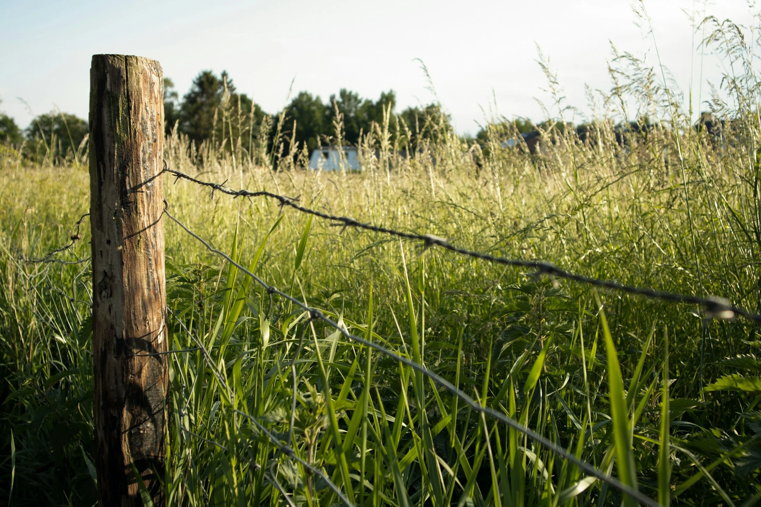
Fence Scouting
-
Managing large properties makes it difficult to regularly inspect fencing and boundary lines. Drone fence scouting allows you to quickly scan long stretches of fencing to identify damage, fallen sections, wildlife breaches, or problem areas without spending hours traveling the entire perimeter. This helps producers locate issues faster and prioritize repairs more efficiently.
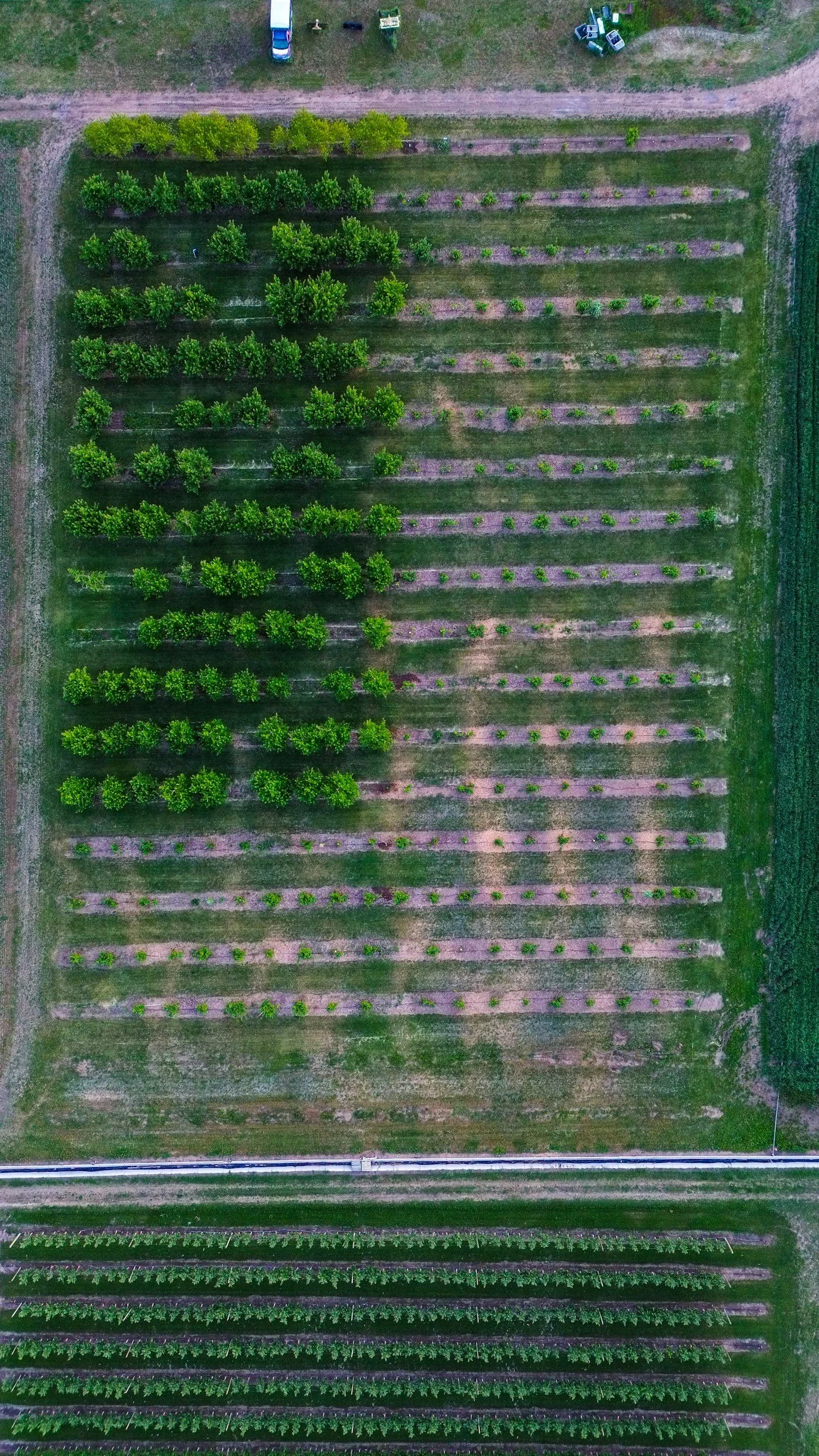
Plot/Trial Spraying
-
For producers and researchers running field trials, precision matters. Our drones allow for highly targeted application of nutrients, herbicides, or treatments on test plots without affecting surrounding crops. This provides a controlled way to evaluate product performance, compare treatments, and gather more accurate results while minimizing variability.
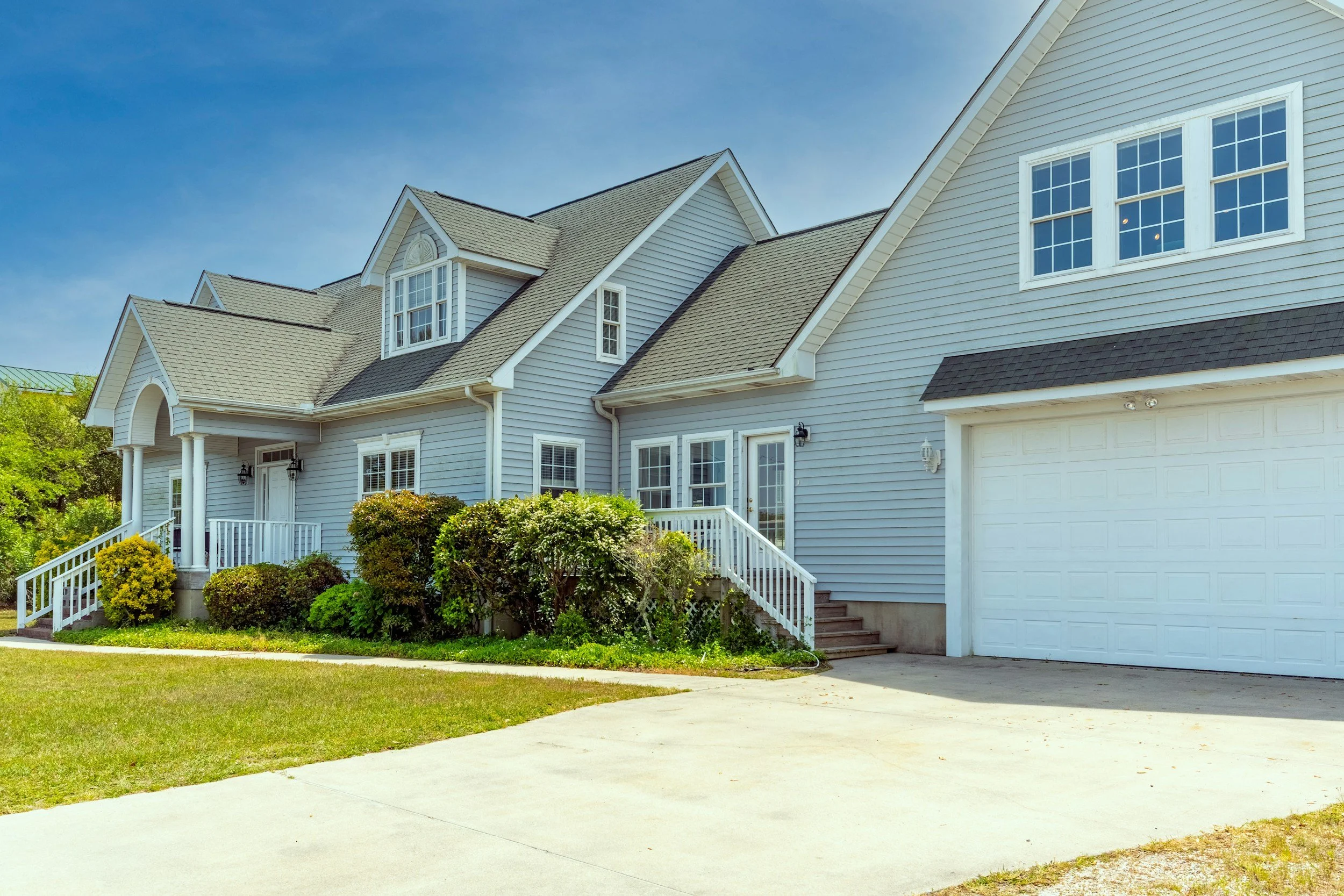
Real Estate & Farm Videography
-
High-quality aerial imagery provides a powerful way to showcase real estate and farming practices. Drone photography captures sweeping overhead views of homes, acreage, landscape & environmental features, and property boundaries that traditional photography cannot easily provide. These perspectives help highlight the full layout and setting of a property, giving potential buyers a clearer and more compelling view of the home and land.
Have Questions or a Custom Drone Project?
Let’s talk about how our drone technology can work or you.
Designed for Practical Agriculture
These services are built for real conditions — wet fields, fragmented acres, steep canyons, tight labor schedules, and narrow spray windows.
Whether you need diagnostics, application, or both, IQ Ag delivers tools that help you operate with greater precision and confidence.
Let’s Talk About Your Acres
Every field and operation is different. Review our packages and pricing — or reach out to discuss your crop, terrain, and timing needs.