
Rangeland Weed Control
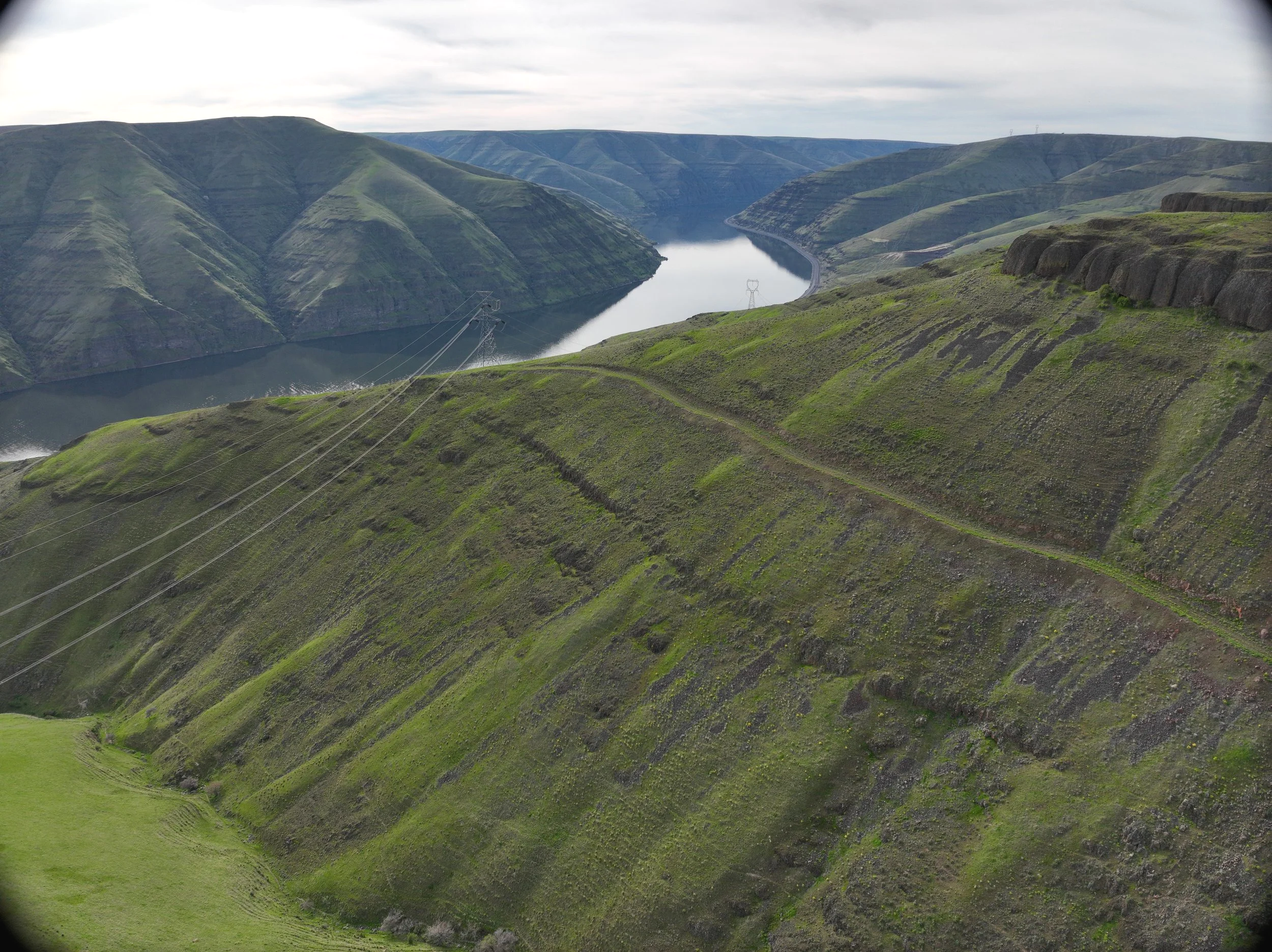
Spray noxious weeds choking out feed and native vegetation on your rugged rangeland that can’t be accessed using ground rigs. This service will map your rangeland boundaries and identify no-spray zones with your input using Google maps to identify native vegetation and conservation areas to ensure precision application for environmental protection and reduction of herbicide use simultaneously.
Under 500 Acres = $12/Acre
500-1,200 Acres = $9/Acre
1,200+ Acres = $6/Acre
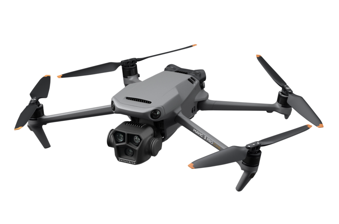
*Add on: Aeriel mapping of rangeland and precision identification of no-spray zones, including environmental areas of rocky bluffs that will not need weed/seed service, through DJI Mavic drone. Using the map with your input a precision spray mission will be developed. NDVI map and aerial images of rangeland are provided to rancher. + $250.
Use our pricing estimator to calculate your customized price.
To move forward, complete the rangeland survey below to receive a consult to finalize this package and pricing with your details.
*Now accepting fall service bookings.