
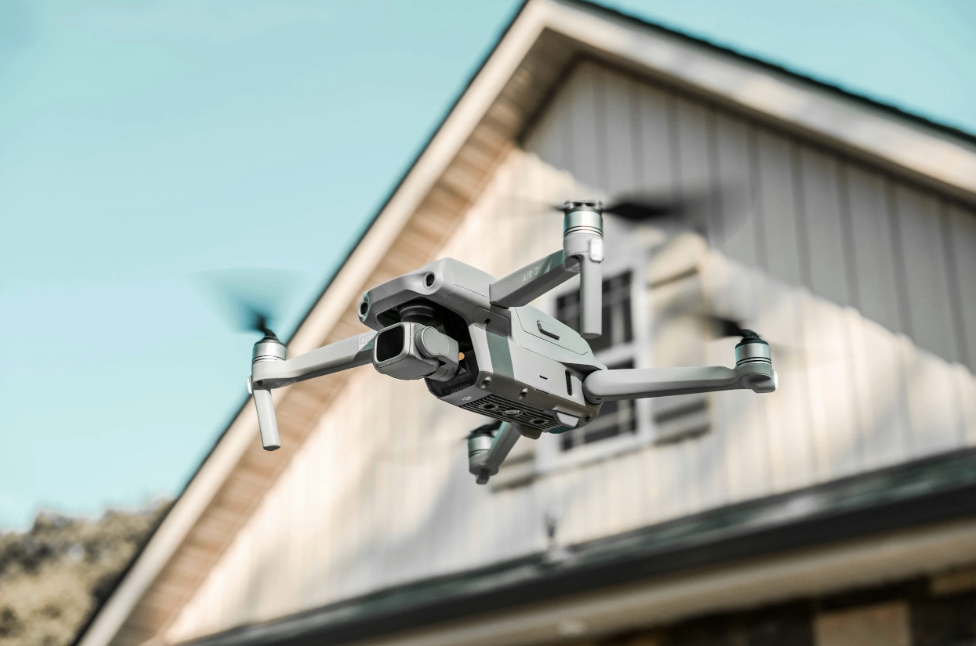
Drone Photography & Videography
We provide clean, high-quality aerial imagery designed to help you showcase property, land, and operations from a better perspective. Whether you're listing a home, marketing commercial space, or promoting your farm, we deliver fast, reliable drone imagery without the high-end production price tag.
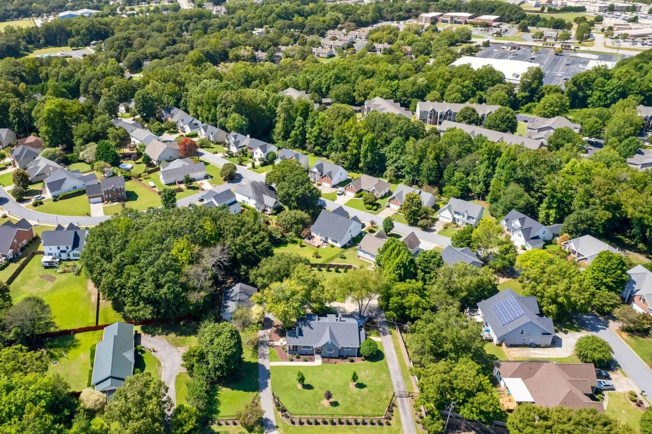
Residential Property: Perfect for realtors, homeowners, and land listings looking to stand out in a competitive market.
Residential Base Package – Starting at $200 for single home up to 5 acres.
Up to 15 high-resolution aerial photos.
Front, rear, and surrounding area views.
Light editing for clarity and color.
48 hour turnaround.
Residential Add-On Options
Drone Video (30–60 sec highlight): +$100
Orthomosaic Property Map: +$150
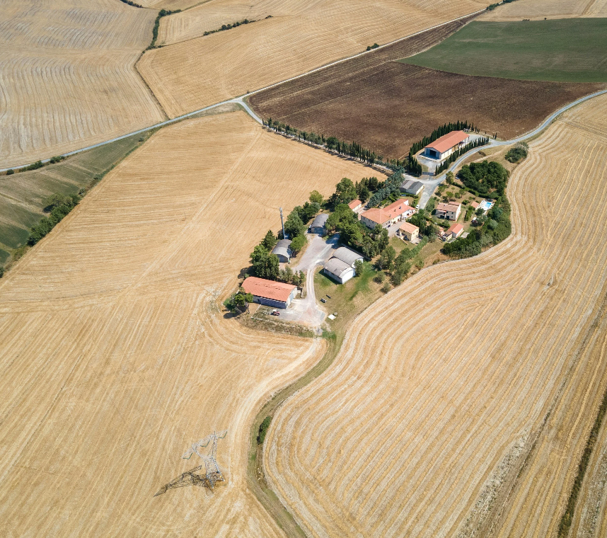
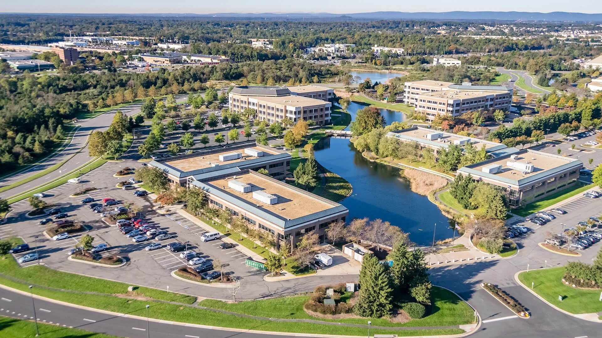
Commercial Property: To document construction progress, small commercial sits, and commercial properties.
Commercial Base Package – Starting at $400 for up to 5 acres.
Up to 25 high-resolution aerial photos.
Multiple angles and elevations.
Property context (roads, access, surroundings).
Quick turnaround for listings
Commercial Add-On Options
Drone Video (property flyover): +$150
Orthomosaic Site Map: +$250
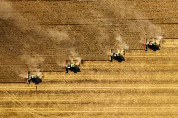
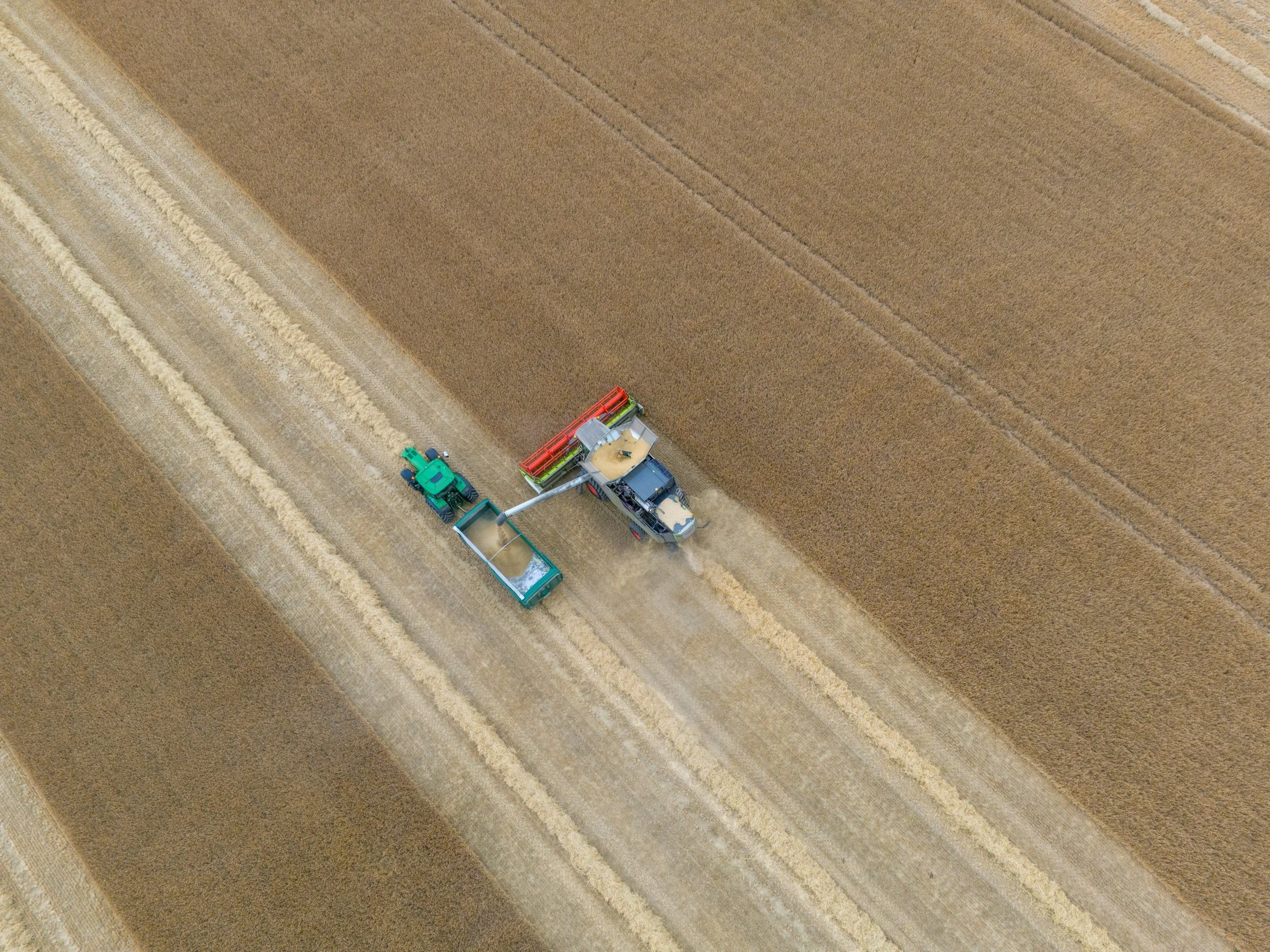
Engineering / Large Development Sites: Working with civil engineering firms for site planning, pre-construction documentation, large subdivision development projects, and documenting progress.
Engineering Package - Starting at $1200 for up to 50 acres
Full aerial photography package
Orthomosaic mapping
High-resolution stitched imagery
Recurring contract available for project progress monitoring
All prices will add a $.70/mile fee over 30 miles.
To move forward, complete the specialized drone projects survey below to receive a consult to finalize this package and pricing with your details.