
Aerial Mapping & Analysis
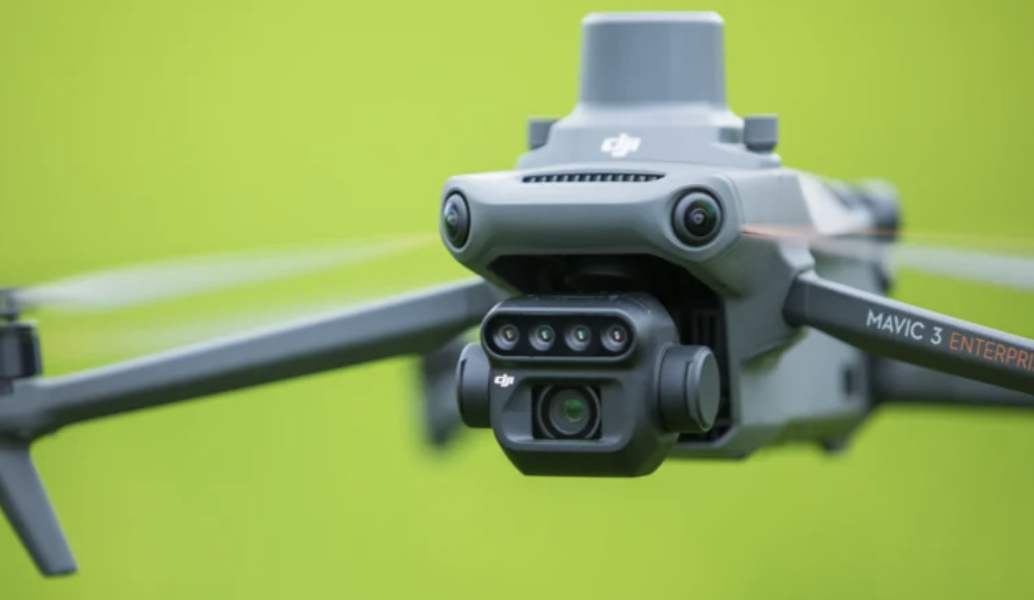
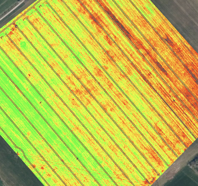
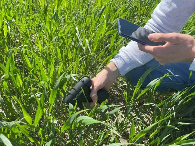
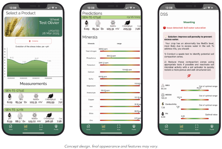
Aerial mapping of field using DJI Mavic drone, generating NDVI field maps and nutrient zones, detecting crop stress and weeds. Based on field maps generated, then our trained operators will complete three composite samples consisting of 15 leaf scans/sample, one in each zone identified by NDVI maps. NDVI maps and easy to understand Nutriscope results for plant health in each zone will be provided within 24 hours of completion so producers have actionable agronomy intelligence. You can make decisions based on these results or take them to your agronomist/supplier to develop a zone-specific application package. Pair this service with our aerial application to improve timing and optimize response and investment.
Packages start at $400 for single-field up to 200 acres or $2/acre for fields greater than 200 acres + $.70 mileage over 30 miles.
Complete the drone application and mapping survey below to receive a consult and customized quote for your exact needs.